THE SHARQIYA SANDS STUDY PACK
An online resource for 11-16 year old young geographers
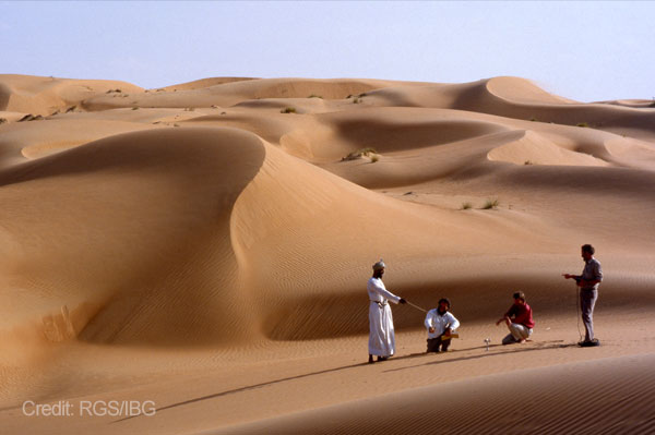
In 1985 the Royal Geographical Society undertook a two-year expedition to the north-eastern region of Oman; an area informally known at the time as the Wahiba Sands and now referred to as the Sharqiya Sands, or Eastern Sands. The forty-strong team aimed to “study the early development of the Sands, its ecosystem and the impact of recent change in order to provide information that is useful to the Government of Oman”.
This research was carried out in five key areas:
- The sedimentary and geomorphological history of the Sands
- Sand movement, moisture and vegetation
- Biological resources and range management
- The indigenous communities and their interrelationships
- Oil wealth and local development
In doing this research they provided new insights into this relatively unknown region at the time. Such information fed into Omani policy design, allowing the government to holistically consider the relationships between the Sands’ ecosystem, its physical environment and its resources as they looked to develop the region economically. On their return, in 1988, the Wahiba Sands Project team produced a set of teaching resources (in collaboration with BP) based on these same five areas. Thirty years later these resources have now been updated and they allow us to both celebrate the original expedition and compare today’s Sharqiya region to that of the time.
The relaunch of these teaching resources coincides with the development of new opportunities for fieldwork and exploration in the Sharqiya region. In 2017 Oman’s first purpose-built centre for field study and outdoor learning opened in the Sands, run by Outward Bound Oman. This centre now serves as a base for future desert research and as a means to build on the original ground-breaking exploration of the area.
Further information about the Centre can be found here and by watching these videos:
The following lessons and teaching resources are aimed at an 11-16 age group and are designed to fit into a scheme of work based on the locational knowledge (Middle East and hot deserts) part of the English National Curriculum.
We would like to thank the talented Chloe Searl for producing these outstanding resources;
The Lesson Plans
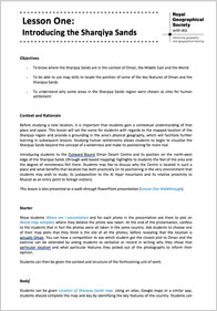 Lesson One – Introducing the Sharqiya Sands
This lesson is an examination of the location of the Sharqiya region in the context of Oman and the Middle East. Students will have an opportunity to practice their map skills in order to locate some of the area’s principle settlements. Students will also gain an understanding of why those settlements exist in those particular locations.
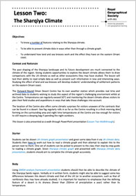 Lesson Two – The Sharqiya Climate
This lesson gives students the chance to compare the Sands’ climate with that of the UK and builds to define desert climates more generally. Students will examine different data sources and understand their uses as well as explore how the day to day weather in the Sharqiya region shapes the landscape.
 Lesson Three – Shifting Sands
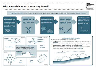
Introducing a host of new desert vocabulary, this lesson asks students to look at how the sand dunes of Sharqiya have been formed and why they continue to change position and shape. This involves some practical, hands-on demonstrations as well as opportunities for students to think creatively about the sand dunes.
 Lesson Four – Life in Sharqiya
The adaptations needed for survival in the desert will be explored in this lesson using plants, animals and humans as examples. Students will study the behavioural and physical way life has adapted and adjusted to the harsh environment in which they find themselves. Students will also have an opportunity to creatively engage with the key principles.
 Lesson Five – Managing Water in Sharqiya
Through the context of water scarcity and climate change, students will investigate the key issues and carry out a decision-making exercise with regards to the sustainable use of water as a resource. This will be placed in the real-life context of the Sharqiya region. Students will have the opportunity to access and evaluate a range of data sources.
 Lesson Six – Sharqiya in a globalised world
Students will explore the transformation of the region from a tribal wilderness to a tourism hot-spot in Oman. They will begin to understand the ways in which Sharqiya is linked to the rest of the world and the depth of those connections. Students will gain an appreciation of how the area might be managed for tourism so that the future needs of the region are matched with those of visitors to the Sands.
